2024 Guadarrama

2024 Guadarrama

2024 Guadarrama
2024 Guadarrama
DAYS
2
DISTANCE
153 Km
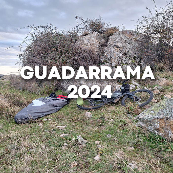
2024 - The Sierra de Guadarrama is a mountain range in central Spain and part of the Sistema Central. It lies between Madrid and Castilla y León. Its highest peak is Peñalara (2,428 m). The area is an important natural region and is protected as a national park, and it has historically served as a natural barrier around Madrid. The loop is approx. 155 km through off-road terrain with 3 hike/carry-a-bike sections. You encounter the rural and ancient Spanish lifestyle with small villages spread around the outskirts of the Sierra. The steep way out of Cercedilla leads toward the reservoir of La Granja. As you climb, put on your jacket in Navalfria. Enjoy the laid back scenic lake Lozoya after which you climb to Puerto de la Mercuera 1796 m.

HIGHLIGHTS ALONG THE TRIP
Cercedilla - La Granja - Puerte de Navalfria - Lake Lozoya - Miraflores de la Sierra
BEST TIME
My trip wasn't planned, but the start of October was comfortable. Temperatures around 19° and clouded. Unfortunately some 250 more toward the Meditaranean, flash floods killed more than 100 people in the Valencia surroundings. So be aware about weather forecasts.
CAMPING
This mountain area is forrest filled with GR tracks running through. You will encounter quite a lot of hikers, but only during day time. So the evenings and nights under the sky are your private theatre. Those seeking comfort can find food and hospitality in the local hospedajes.
SUPPLIES
Water is available along the route. You also find local supermercados in each village. The loop only is 155 km, so no need to stuff to much food. You find fresh foods (fruits, veggies, cheese) at the local markets (varying from town to town). I especially loved my apple pie in the only local bakery in Navalfria.

BIKEPACKING GUADARRAMA
RIDABLE
90 %
PEAK
1.845 m
DIFFICULTY
2.963 Hm

THERE'S MORE OF THIS BIKEPACKING
I ride a bike to add life to my days

Transbalkan bike